Merrit MountainBiking Association

Hours delivered back to the business
SOX compliance in Settlement process automation
Success rate of bot case completion
For functional release of OBT, RTS and OGS
Challenge
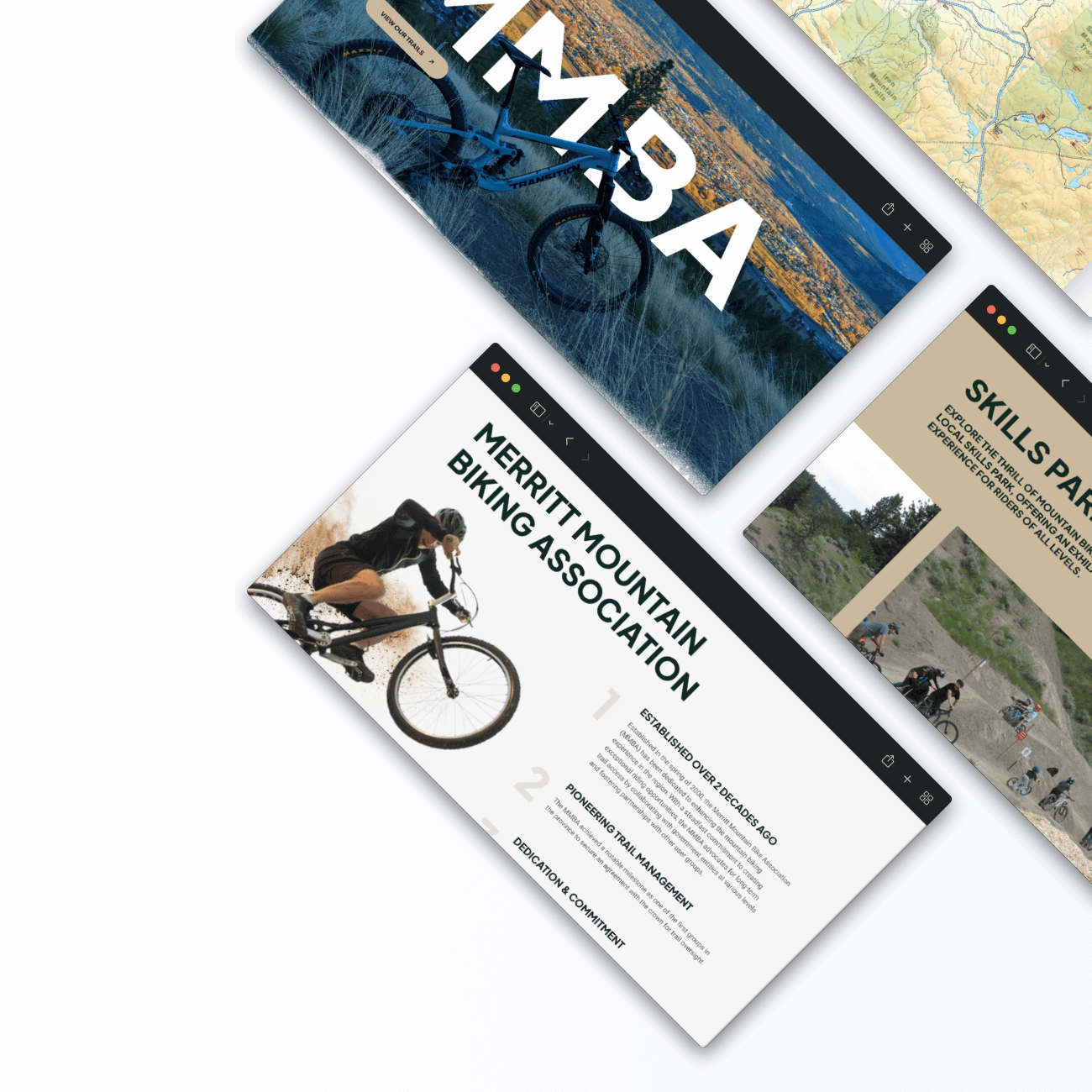
Merritt Mountain Bike Associations (MMBA) needed a user-friendly website to effectively showcase their offerings. The primary challenge was to create an engaging, design-rich platform that would facilitate easy navigation, feature interactive trail maps, and allow comprehensive backend management for the admin.
Solution
247 Labs developed a visually appealing WordPress website for MMBA, integrating dynamic animations and bike-themed graphics to enhance user experience. The site includes detailed, interactive trail maps with elevation data, allowing users to explore and plan their rides.
Outcome
The new website significantly improved MMBA’s online presence, making it easier for users to access trail information and for MMBA to manage their content. The engaging design and interactive features increased user engagement and satisfaction.

Ready to reduce your technology cost?
See More Case Studies
Let’s build something
great together.
We’re happy to answer any questions you may have and help you determine which of our services best fits your needs.
Call us at 1-877-247-7421 or email [email protected]
Your Benefits:
- Client Oriented
- Independent
- Competent
- Result-driven
- Problem-solving
- Transparent
What happens next?
1
We schedule a call at your convenience
2
We do a discovery and consulting meeting
3
We prepare a proposal


